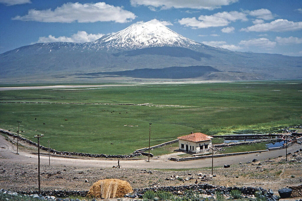
Subsurface Geophysical Assessment and Field Constraints
A specialized international research team deploying advanced American ground-penetrating radar technology recently concluded an initial geophysical survey at eastern Turkey’s Durupinar formation. Despite challenging logistical environments and severe regional rain patterns that compressed the operational window to seven days, the mission conducted critical baseline subsurface data collection. Project researchers confirmed that the deployment successfully established the empirical groundwork for comprehensive multi-layer mapping.
Dual-Use Radar Technologies in Remote Terrain
The mission highlights the growing cross-disciplinary utilization of sophisticated subsurface sensing frameworks—technologies frequently adapted from tactical defense reconnaissance and environmental analysis—to evaluate complex geological anomalies. Deploying high-fidelity imaging systems in rugged Anatolian geography requires sustained coordination between foreign technical specialists and local administrative stakeholders, demonstrating operational resilience in demanding borderland environments.
Long-Horizon Planning and Regional Engagement
Project leadership confirmed that comprehensive follow-on operations have been formally scheduled for 2027, allowing for rigorous data synthesis and algorithmic modeling of the raw radar returns. This strategic multi-year runway illustrates how international technical collaborations maintain enduring bridges across pivotal Eurasian corridors, reinforcing sustained civilian and scientific engagement across sensitive geographical zones.